GIS, Mapping, and Imaging Processing Services

It has been estimated that 80 percent of all data contains some type of geographic or locational component.

By correlating information based on where it occurs and building a visual display layer by layer, a whole new understanding of this data begins to emerge. Geographic Information Systems (GIS) is the technology that brings it all together. Western Resource Consultants, Inc. (WRC) delivers that technology.

At WRC we believe that at the heart of environmental problem-solving and solid decision making is accurate geographic information. This notion has elevated the company’s reputation and its ability to help people make better decisions in industries such as oil/gas/mineral exploration, natural resource management, urban and regional planning, environmental monitoring, forest management, engineering, telecommunications, utilities, and transportation.

From simple thematic mapping to advanced remote sensing and everything in between, WRC’s fully integrated approach to spatial information management enables us to provide accurate, timely, and cost-effective solutions for all your geospatial information needs.

Geospatial Analysis Services:

  • Image Processing and Spatial Analysis

  • Geo- & Ortho-Correction of Data

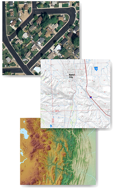
  • Digital Elevation Model (DEM) Extraction and Processing

  • 3-D Image Profiling and Visualization

  • Cartographic Quality Mapping

  • Mosaicing of Imagery

  • Digitizing and Data Conversion

  • Database Development

  • Slope, Aspect, Shaded Relief, and Contour Generation

  • Viewshed and Line-of-Site Analysis

  • Well Pad and Access Road Siting

  • Geologic, Soils, Vegetation, and Hydrologic Mapping

  • GPS Surveying and Mapping

WRC GIS Services
Western Resource Consulting

The consultant you confidently turn to for innovative and cost-effective solutions to your environmental permitting needs.

Denver Corporate Center III
7900 E Union Ave #1100,
Denver, CO 80237
(303) 357-3236